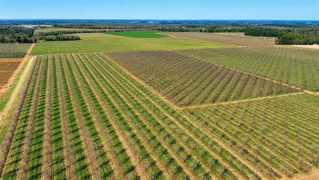
Each video loads only when you press Play. Captions and a written description will be added before launch.
Plans and maps
Plans and maps of the site, as engineering exhibits. Rail, power and water are covered on Infrastructure and logistics.
Aerial exhibit, August 2022
Property exhibit
The site boundary on an aerial photograph, with parcel dimensions, the Norfolk Southern rail line, Georgia Highways 49 and 96, wetlands and the routes to I-75.
The site boundary with existing and proposed utilities labeled: 115 kV power lines, the water main and treatment plant, a force main and lift station, fiber optic, a proposed gas main and a future wastewater plant expansion.